
Region 7 Watershed
*
Region 7 Watershed *
The Capital Region Planning Commission (CRPC), in partnership with the Louisiana Watershed Initiative (LWI), has released the draft Region 7 Watershed Plan for public review and comment. The plan is intended to provide a regional framework for reducing flood risk, improving watershed coordination, supporting resilient infrastructure investment, and strengthening long-term community resilience across the Region 7 watershed area. The plan evaluates existing flood hazards, drainage and watershed conditions, infrastructure, land use trends, and regional planning efforts while identifying opportunities for improved coordination between local, state, and federal partners.
This draft plan is not a regulatory document. Instead, it is intended to serve as a living regional planning and coordination tool that helps communities better understand flood risk, prioritize mitigation strategies, and align future investments across jurisdictional boundaries. The planning process was developed in alignment with the goals of the Louisiana Watershed Initiative and incorporates principles consistent with FEMA’s Community Rating System (CRS) floodplain management planning guidance.
CRPC is seeking public input from residents, businesses, local governments, community organizations, and other stakeholders throughout the region. Comments are encouraged on local flooding concerns, drainage issues, infrastructure needs, development trends, watershed priorities, and opportunities to improve resilience and coordination across the region.
Public comments received during this review period will help inform revisions to the final plan.
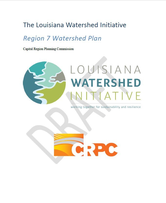
Click on the image below to download the DRAFT PLAN


Our Vision: Region 7 envisions a future with less flood risk, healthier natural environments, and resilience practices that are responsive to the needs of communities and to our evolving environment. You can read more about Region 7’s vision, values, and goals in our guiding principles framework.
Following the Great Floods of 2016, Gov. Edwards issued an Executive Order that charged state agencies to coordinate statewide flood risk management efforts through a regional watershed approach, centering decision-making through shared waterways across multiple jurisdictional boundaries. The order identified five state agencies to collaborate on interagency alignment efforts through technical advisory groups made up of staff from each agency, and the Council on Watershed Management, which oversees all activities associated with the Louisiana Watershed Initiative (LWI). Those agencies are as follows: Coastal Protection and Restoration Authority, the Department of Transportation Development, the Department of Wildlife and Fisheries, the Governor’s Office of Homeland Security and Emergency Preparedness, and the Office of Community Development. Members of the technical advisory groups recommended the eight provisional watershed regions (below) that were then adopted by the Council on Watershed Management
Region 7 includes the following parishes: West Feliciana, St Helena, Tangipahoa, Washington, Livingston, St Tammany, St John the Baptist, and St Charles.
Through the implementation of its programs, efforts of the LWI coordinate enhanced technology, planning, policy, and engagement with state agencies, regional partners, and local communities to build support for an improved, long-term, state and watershed region management framework that can more effectively address mounting flood risks statewide.


RESOURCES

PROJECTS

PARTNERSHIPS

STEERING COMMITTEE

CALENDAR EVENTS

CONTACT US